Louise Steinman von Hess Foundation Makes Historic Riverfest Finale Possible with Landmark Sponsorship
The Susquehanna National Heritage Area (SNHA) is proud to announce a transformative sponsorship from the Louise Steinman von Hess Foundation supporting the illumination of all 26 bridge piers of the Columbia–Wrightsville Bridge on June 28, 2026, as the grand finale of Riverfest 2026. This dramatic lighting will commemorate the Civil War burning of the world’s longest covered bridge and mark our region’s place in America’s national narrative.
Thanks to the Foundation’s generous support, this will be the first time all 26 bridge piers have been lit simultaneously since the 150th anniversary of the Civil War in 2013. In prior years, SNHA and its heritage partners were only able to illuminate three piers at a time for Riverfest. Lighting the full span heightens the scale and emotional power of the historic event and creates a breathtaking river-wide spectacle visible across both river communities.
Riverfest commemorates the June 1863 burning of the Columbia–Wrightsville Bridge, when outnumbered Union troops and local volunteers set the wooden covered bridge ablaze to prevent Confederate forces from advancing east into Lancaster County. The action halted the invasion and forced Confederate troops to retreat west. Just two days later, those Confederate forces clashed with Union forces at the Battle of Gettysburg.
“In early 2025, we had begun to plan for this historic year and hoped to find the support to create this breathtaking experience of lighting all the bridge piers,” said Sophia Vayansky, Program Manager for Susquehanna NHA. “It’s no easy task to prepare all the piers, load the wood, and light them simultaneously. We are deeply grateful to the Louise Steinman von Hess Foundation for their extraordinary generosity and vision. Their support allows us to honor this pivotal moment in American history at the scale it deserves.”
Executive Director Jim Abbott stated, “The Louise Steinman von Hess Foundation is honored to support Riverfest 2026 through the illumination of the Susquehanna’s 26 historic bridge piers. The Board of Trustees and staff of Wright’s Ferry Mansion join SNHA with great pride in celebrating the rich, diverse history of this region.” The 2026 Riverfest celebration takes place during a landmark year of anniversaries: America’s 250th anniversary and Columbia’s 300th anniversary. To mark the moment, Susquehanna NHA has expanded programming and one-of-a-kind heritage experiences that connect local stories to the larger American narrative.
The counties of Lancaster and York hold a special place in the nation’s founding. The Continental Congress met in York for nine months, where it ratified the Articles of Confederation. Lancaster’s economy and skilled craftspeople supplied critical materials for the Revolutionary War. But this anniversary isn’t just about a moment in time; it’s about American identity and its legacy.
The lighting of all 26 bridge piers will serve as a powerful visual tribute to courage, sacrifice, and community action. The Susquehanna National Heritage Area extends its sincere gratitude to the Louise Steinman von Hess Foundation for making this historic moment possible and for its continued commitment to preserving and sharing the region’s heritage.
Riverfest will take place on June 27-28, 2026, along the Susquehanna River in Columbia and Wrightsville. The public is invited to gather on the river on Sunday evening for the lighting of the piers. Check susqnha.org or riverfestpa.com for more information.
About Louise Steinman von Hess Foundation
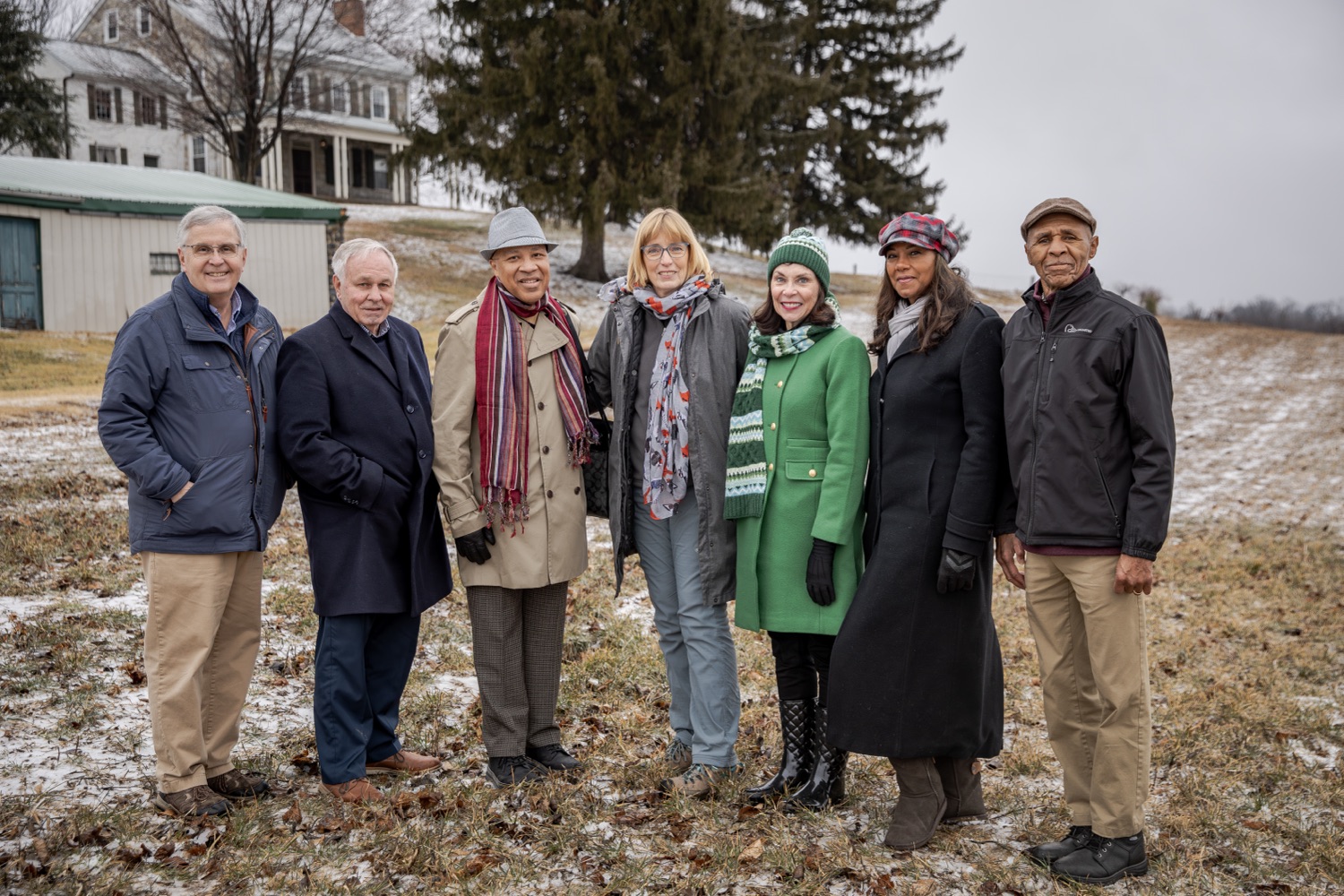
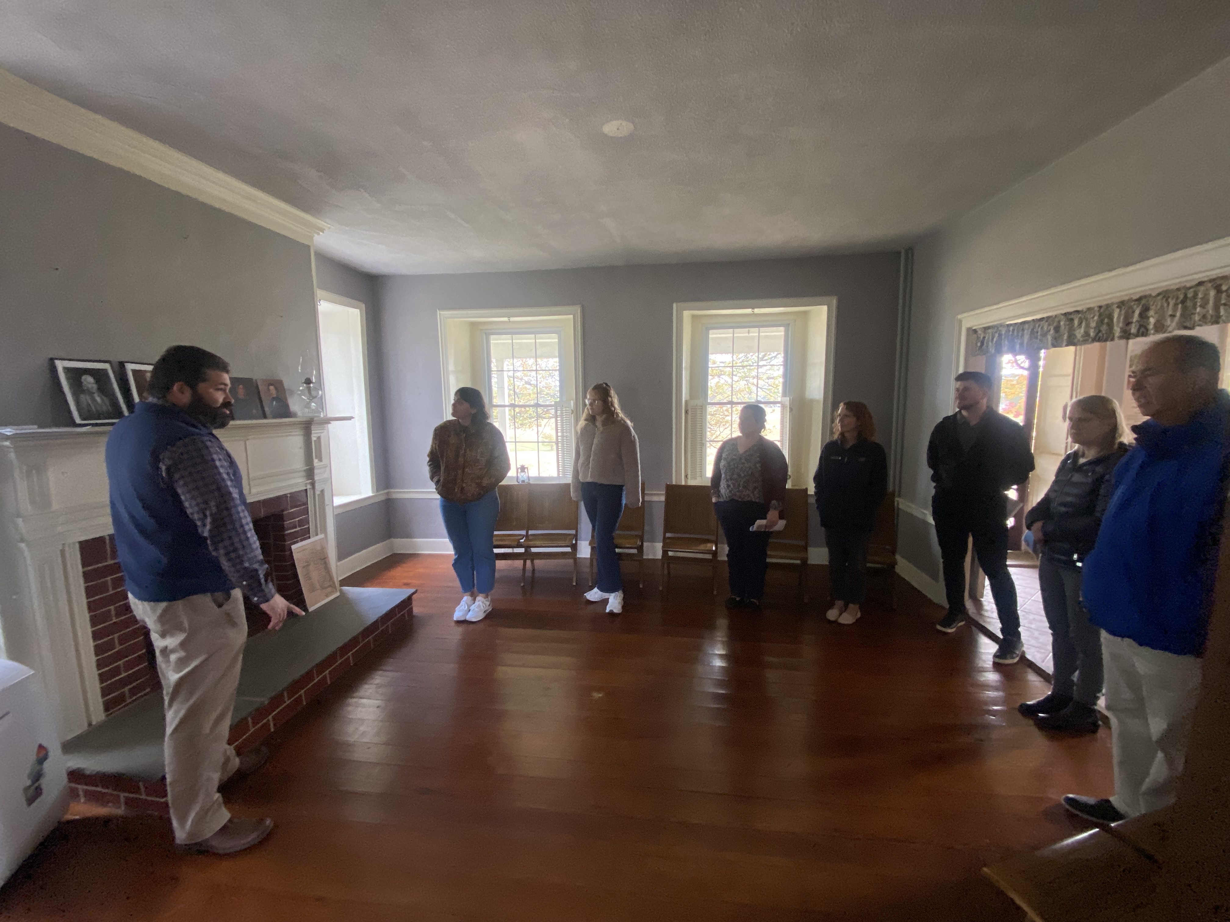
The Louise Steinman von Hess Foundation is responsible for the scholarly restoration of the Columbia-sited historic house museum Wright’s Ferry Mansion, and it oversees the Museum’s ongoing preservation and administration, as well as the formulation of public engagement through various educational endeavors. Built in 1738 by English-born Quaker poet Susanna Wright, WFM focuses on furnishings and decorative arts predating 1750; it is the only Pennsylvania house museum furnished to exclusively represent the first half of the 18th century.
The Foundation also oversees a fine and decorative arts collection representing the life interests of the museum’s founders, Richard C. and Louise Tinsley Steinman von Hess in the Museum’s neighboring Cottage. Additionally, there is the Richard C. von Hess Library and Archive that concentrates on regional history as well as European and American fine art, architecture, and design.
Founded in 1973, the Louise Steinman von Hess Foundation is based in Columbia, Pennsylvania. For more information: www.wrightsferrymansion.org
About SNHA
Susquehanna National Heritage Area (SNHA) uses storytelling, place-based interpretation, and strategic partnerships to deepen people’s connection to the region. Rooted in deep expertise and a profound connection to the land and river, we help residents and visitors navigate the rich, layered, nationally important stories that shape Central Pennsylvania. We steward the legacy of this region so that what we’ve learned can impact generations to come.
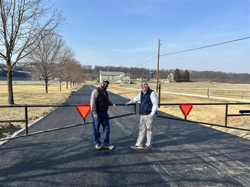
In addition to our regional work, SNHA operates three visitor sites in the region. The Zimmerman Center for Heritage is a colonial riverfront museum in York County that highlights river influence on our culture over centuries, from Native American lifeways to modern inspiration for artists. The Columbia Crossing River Trails Center is an outdoor recreation hub on the riverfront in Lancaster County. The Center also offers youth programs that connect children to the natural and cultural history of the river. Finally, SNHA has preserved the Mifflin Farm in Wrightsville, York County, which is recognized as a National Park Service Network to Freedom site. The rich history related to the Underground Railroad and Civil War is shared through guided tours available on a limited basis.
Media Contact
Hope Byers
Vice President of Visitor Engagement, Susquehanna National Heritage Area
hbyers@susqnha.org | 717-252-0229 ext 105